Apache-Sitgreaves National Forest
There are over 200,000 acres of wilderness and primitive areas within the Apache-Sitgreaves National Forest.
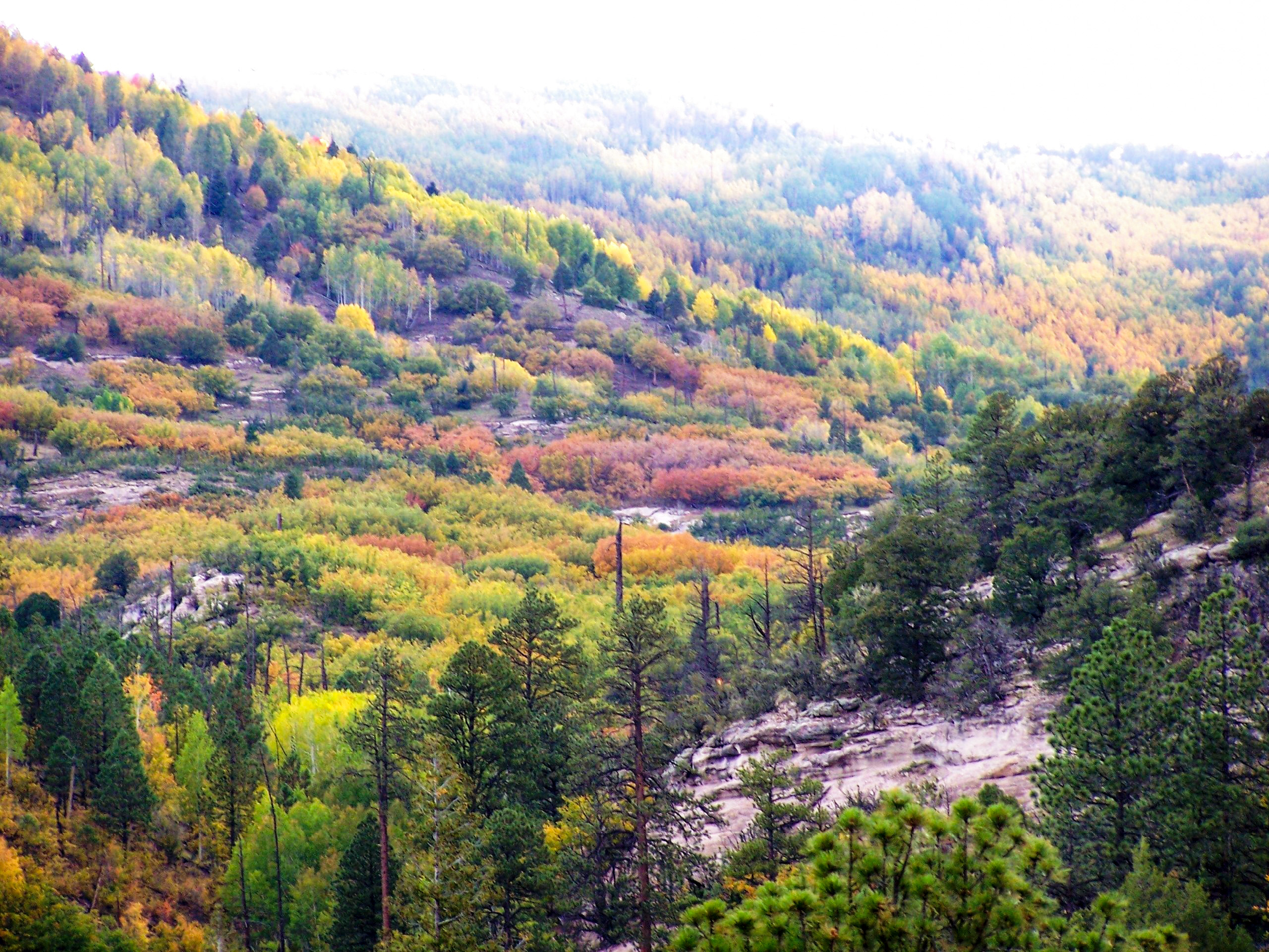
Photo credit: USDA Forest Service
The Apache-Sitgreaves National Forests, administered as one national forest, encompasses over two million acres of magnificent mountain country in east-central Arizona. The Sitgreaves National Forest was named for Captain Lorenzo Sitgreaves, a government topographical engineer who conducted the first scientific expedition across Arizona in the early 1850’s.
On the Sitgreaves, the major attractions for the visitors from the desert are the Mogollon Rim and eight cold-water lakes. From the Mogollon (pronounced: muggy-own) Rim’s 7,600- foot elevation, vista points provide inspiring views of the low lands to the south. The Rim extends two hundred miles from Flagstaff into western New Mexico.
The Apache National Forest ranges in elevation from 3,500 feet to nearly 11,500 feet and is named for the tribes that settled in this area. The area from Mount Baldy east to Escudilla Mountain is often referred to as the White Mountains of Arizona. From the edge of the Mogollon Rim south of Hannagan Meadow, the land drops precipitously into the high desert around Clifton.
Wilderness Areas/Wild & Scenic Rivers
Bear Wallow Wilderness - The Bear Wallow Wilderness is home to some of the largest acreage of virgin ponderosa pine in the Southwest, venerable reminders of a once extensive forest of these giants.
Escudilla Wilderness - You can see towering Escudilla Mountain from just about anywhere in the neighborhood (the neighborhood of eastern Arizona, that is).
Mount Baldy Wilderness - This Wilderness offers one of the most popular hiking areas in Arizona.
Invasive Species


| subjectnumber | Subject Name | Scientific Name | |
|---|---|---|---|