Kaibab National Forest
From canyons to prairies, peaks to plateaus, the Kaibab National Forest offers layers of opportunity for peace, solitude & discovery.
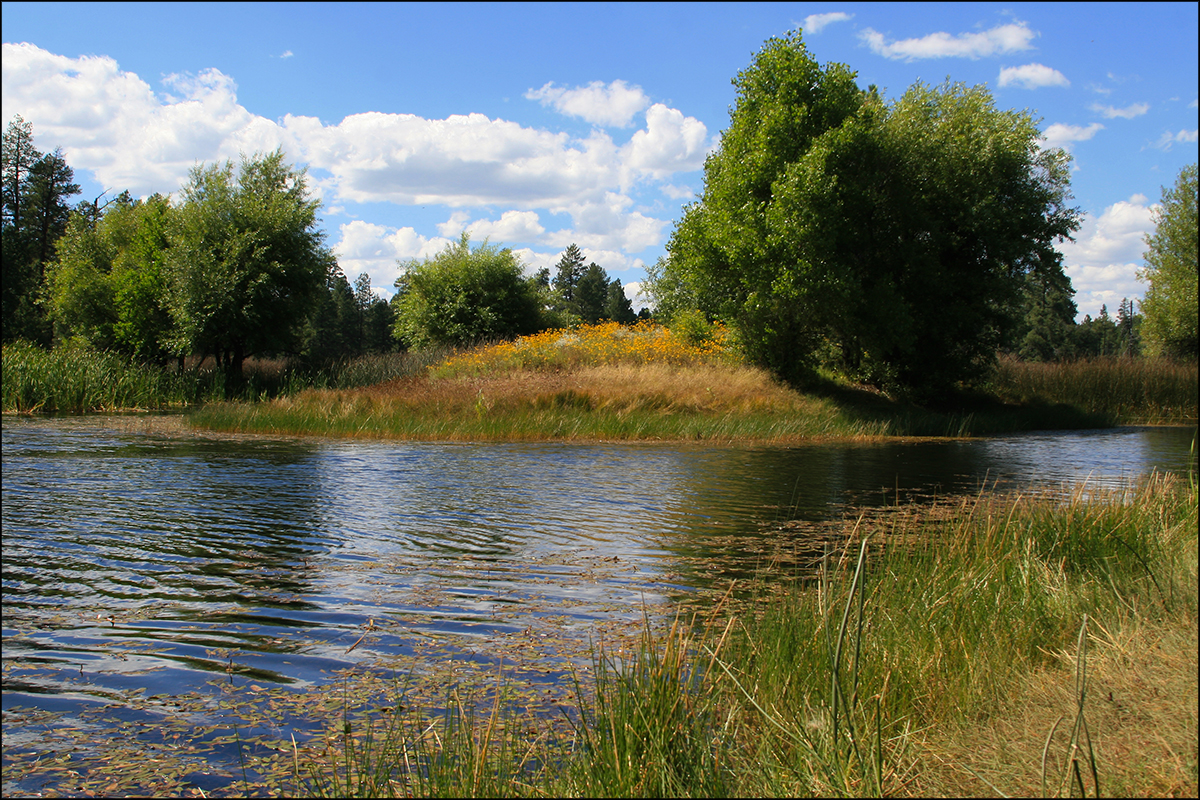
Photo credit: USDA Forest Service
Wilderness Areas/Wild & Scenic Rivers
Kanab Creek Wilderness - Flowing from its origin some 50 miles to the north in southern Utah, Kanab Creek and its tributaries have cut a network of vertical-walled gorges deep into the Kanab and Kaibab Plateaus.
Kendrick Mountain Wilderness - The vast majority of this alpine area is forested, ranging from stands of ponderosa pine mixed with Gambel Oak at lower altitudes, to alpine spruce and fir near the summit.
Saddle Mountain Wilderness - The name originates from the profile of a prominent ridge that appears from the distance as a "saddle", horn and all.
Sycamore Canyon Wilderness - This rugged desert canyon is so remote and so unique it was one of the first areas in Arizona to be officially designated and protected as wilderness by the U.S. Congress.
Invasive Species


| subjectnumber | Subject Name | Scientific Name | |
|---|---|---|---|