Kootenai National Forest
Providing abundant recreation and a wealth of natural resources, the Kootenai is a perfect place to relax and enjoy your National Forests!
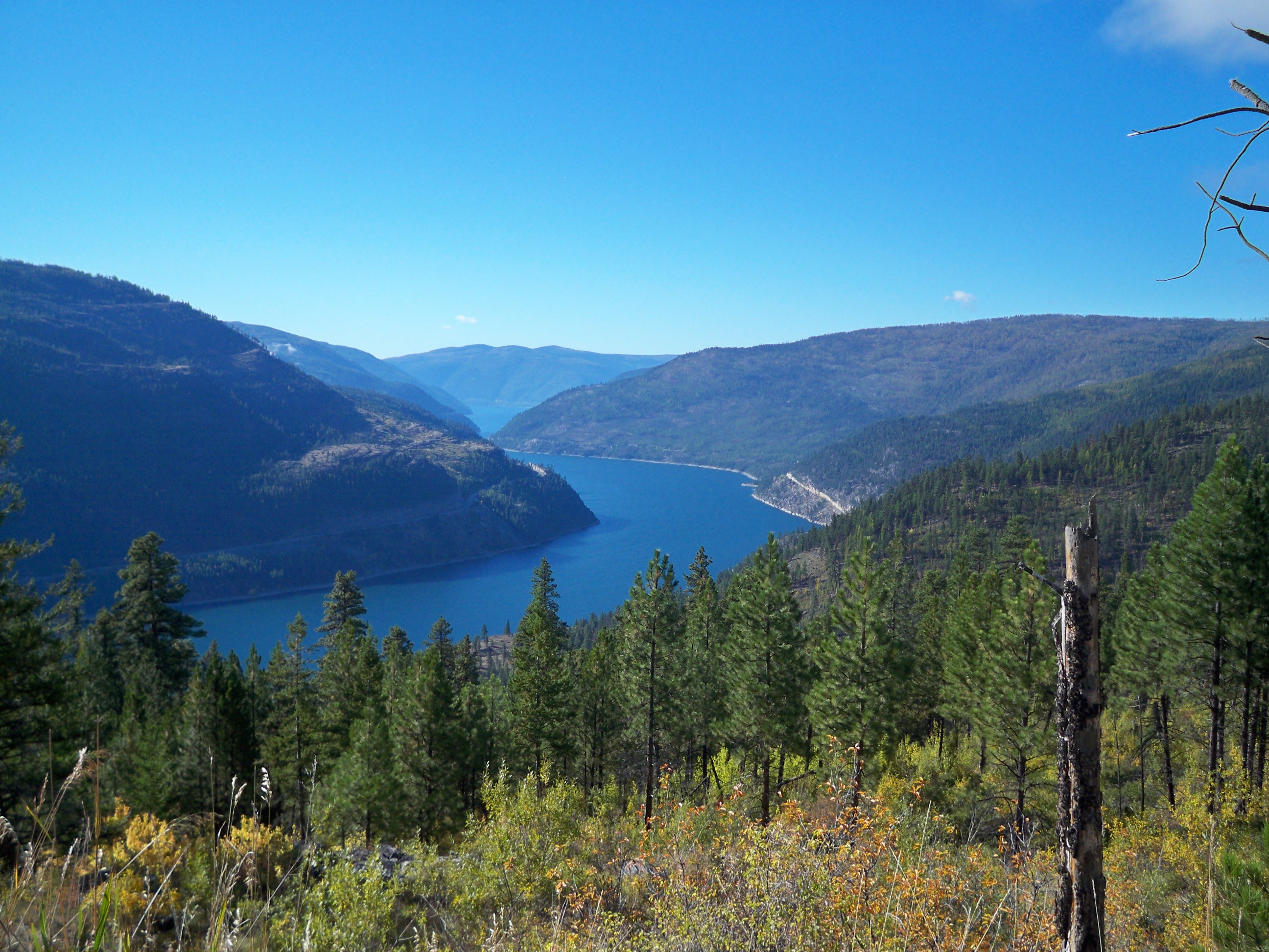
Photo credit: USDA Forest Service
The Kootenai National Forest is located in the extreme Northwest corner of Montana and Northeast Idaho and encompasses over 2.2 million acres, an area nearly three times the size of Rhode Island. The Forest is bordered on the north by British Columbia, Canada, and on the west by Idaho. Of the total acres, 50,384 are within the State of Idaho. Access into the Forest is via U.S. Highways 2 and 93 and Montana State Highways 37, 56, 200 and 508.
Ranges of high craggy peaks mark the Forest with Snowshoe Peak in the Cabinet Mountains Wilderness at 8,738 feet, the highest point. The Whitefish Range, Purcell Mountains, Bitterroot Range, Salish Mountains, and Cabinet Mountains are all part of the rugged terrain radiating from the river valleys. In the north central part of the Forest, the land is more open with gently rolling timbered hills lying in the shadows of the Whitefish Range.
Wilderness Areas/Wild & Scenic Rivers
Cabinet Mountains Wilderness - Variety best describes the Cabinet Mountains Wilderness, ranging from the high, rocky peaks often snowcapped year-round, to groves of huge cedars in the canopied valleys.
Invasive Species


| subjectnumber | Subject Name | Scientific Name | |
|---|---|---|---|