Modoc National Forest
Framed by distinctive geology and views of a timeless landscape, the Modoc National Forest is a place where solitude and recreation come together connecting people to the land and the past
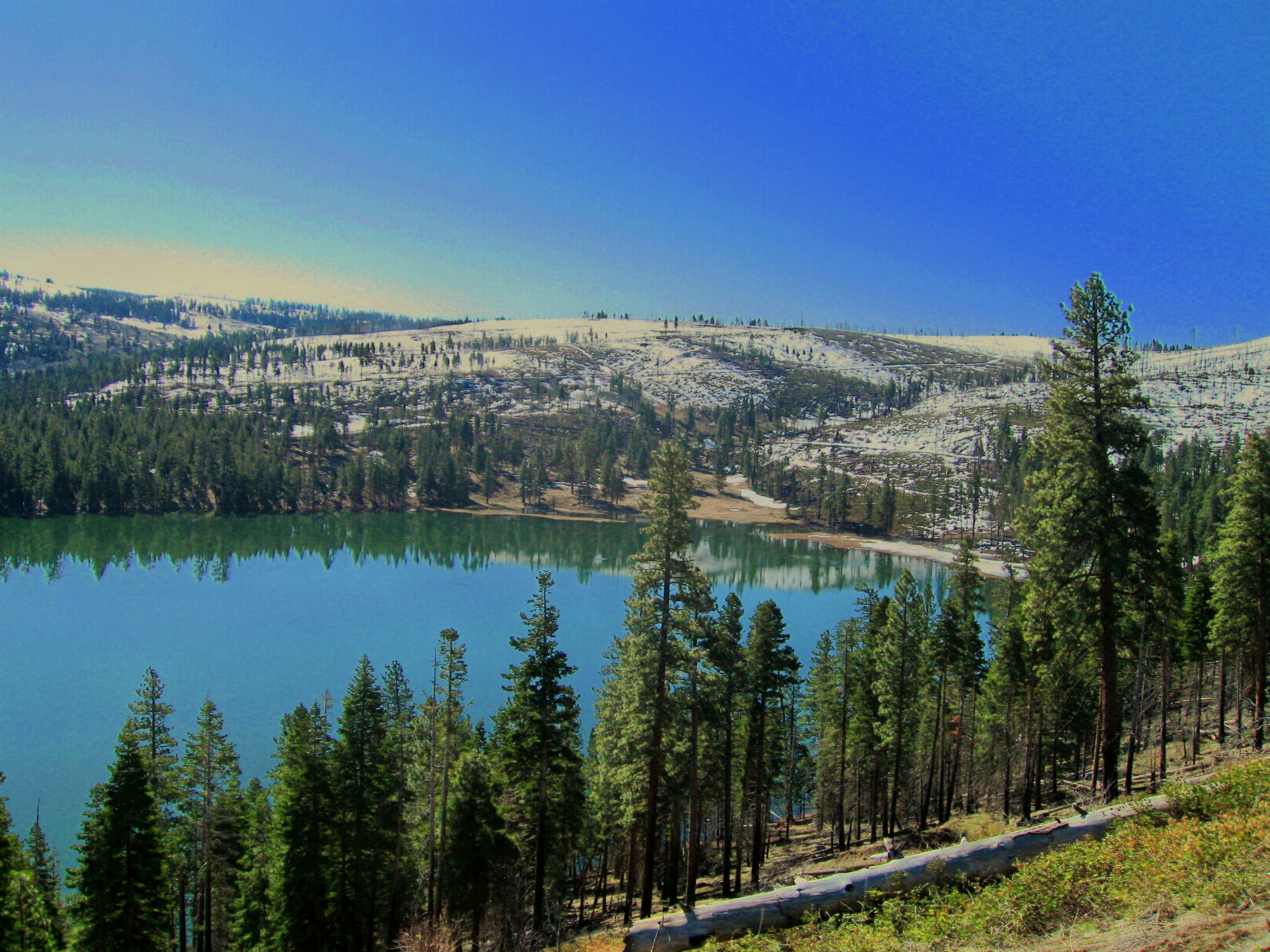
Photo credit: USDA Forest Service
The Smiles of Gods” is what the Native Americans, who first settled this land, called it. The forest is named for the county in which the greater part of the forest is situated. The county, in turn, is named after the Native American tribe, the Modocs. The history of the Modoc National Forest begins with the setting aside of the forest reserves by President Theodore Roosevelt in 1904 at the request of the local ranchers.
Separated from the more heavily populated and intensively used areas of the Sacramento Valley by the main Sierra Nevada mountain ranges, the Modoc lies in the extreme northeast corner of California. The topography is diverse, ranging from the forested Warner Mountain range in the east, to the high plateaus dominated by sage steppe and ancient lava flows around Alturas, and culminating at the Medicine Highlands (the largest shield volcano in North America) in the west.
The high desert climate in the valley areas consists of four distinct seasons and an average precipitation of 13 inches, a large part of which comes in the form of snow during the winter months of December to March. Elevation levels in the Modoc range from 9,906 feet at Eagle Peak in the South Warner Wilderness, to 4,000 feet in the valleys.
Wilderness Areas/Wild & Scenic Rivers
South Warner Wilderness - The South Warner Wilderness is over 70,000 acres of wild, primitive peaks and valleys waiting for you to come and explore.
Invasive Species


| subjectnumber | Subject Name | Scientific Name | |
|---|---|---|---|