Ouachita National Forest
Outstanding mountain views coupled with picturesque streams, rivers, and lakes provide a unique and highly valued setting for outdoor recreation.
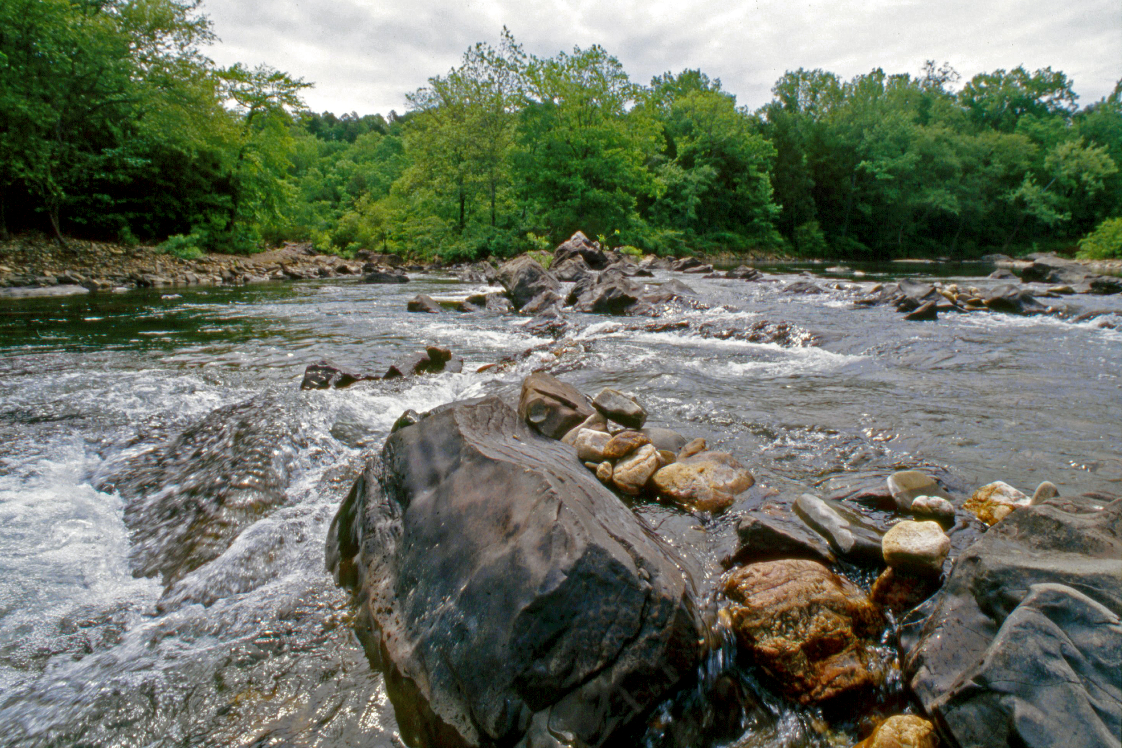
Photo credit: USDA Forest Service
Wilderness Areas/Wild & Scenic Rivers
Black Fork Mountain Wilderness - With 5,149 acres in Oklahoma and 8,430 acres in Arkansas, the wilderness features Black Fork Mountain, a steeply sloped ridge with numerous rock flows, rugged terrain, scenic overlooks, and diverse shrub and tree species.
Caney Creek Wilderness - 14,460 acres featuring secluded forest scenic overlooks, flowing streams, and hiking trails.
Dry Creek Wilderness - Offering 6,310 acres of secluded forest, scenic overlooks, seasonal flowing stream, and sandstone bluffs.
Flatside Wilderness - Featuring 9,507 acres of small creeks, panoramic views, rugged terrain, and a section of the Ouachita National Recreation Trail.
Poteau Mountain Wilderness - 11,299 acres featuring rock outcrops, scenic overlooks, streams, and seclude forest.
Upper Kiamichi River Wilderness - 10,819 acres featuring prominent steeply sloped ridges heavily forested with a variety of species.
Invasive Species


| subjectnumber | Subject Name | Scientific Name | |
|---|---|---|---|