Rio Grande National Forest
Whether viewing the mountain scenery from roads or finding challenge on trails, visitors discover solitude and self-reliance through uncrowded year-round recreation opportunities.
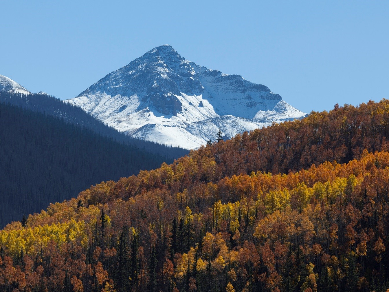
Photo credit: USDA Forest Service
The 1.83 million acre Rio Grande National Forest is located in southcentral Colorado and remains one of the true undiscovered jewels of Colorado. The Rio Grande begins its 1800 mile journey to the Gulf of Mexico high up in the San Juan Mountains in the western most part of the Forest. The Continental Divide runs for 236 miles along most of the western border of the Forest and the jagged tops of the Sangre de Cristo Mountains form the eastern border. In between these two mountain ranges sits the San Luis Valley which is a large agricultural alpine valley. The Forest is composed of a myriad of ecosystems ranging from high elevation desert at 7600 feet above sea level to rocky crags at over 14,300 feet in the majestic Sangre de Cristo Mountains. Portions of four Wilderness Areas (South San Juan, Weminuche, La Garita and Sangre de Cristo) make up almost ¼ of the Forest.
The Rio Grande National Forest is located about four hours south of Denver and four hours north of Albuquerque. U.S. Highway 285 provides access from the north and south, while U.S. Highway 160 provides access from the east and west.
Wilderness Areas/Wild & Scenic Rivers
La Garita Wilderness - La Garita means "the lookout" in Spanish, and this Wilderness amply deserves the name.
Sangre de Cristo Wilderness - Unlike most of Colorado's mountains, the high and magnificently rugged Sangres were uplifted suddenly in massive blocks, creating a range of dramatic vertical proportions.
Weminuche Wilderness - The Weminuche spans the Continental Divide, North America's geological backbone, with its headwaters diverted to both the Pacific and Atlantic oceans.
Invasive Species


| subjectnumber | Subject Name | Scientific Name | |
|---|---|---|---|